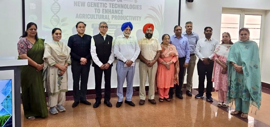
Facebook
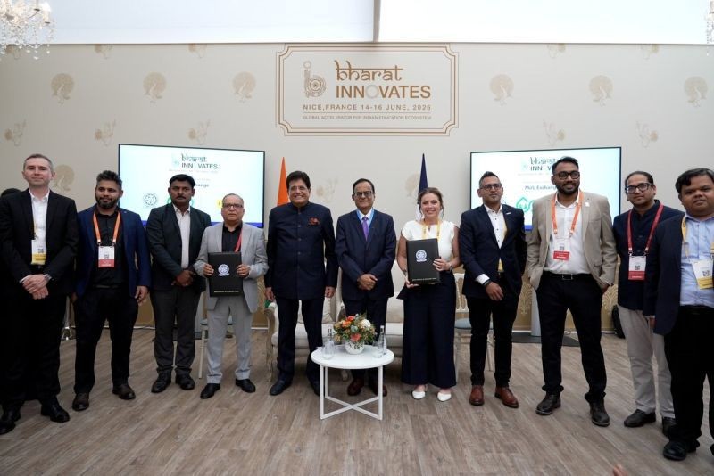
 X
X
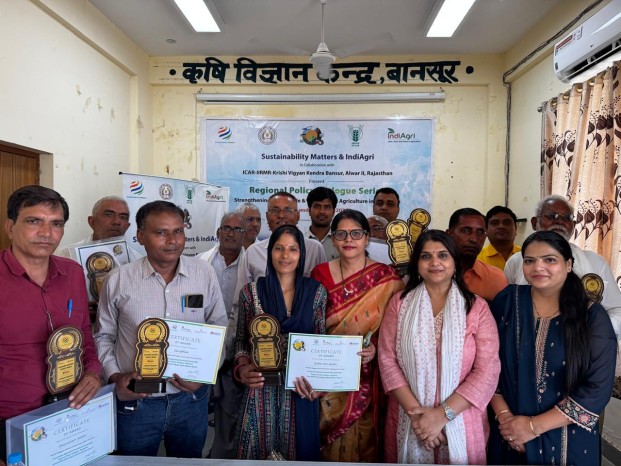
IndiAgri Bureau
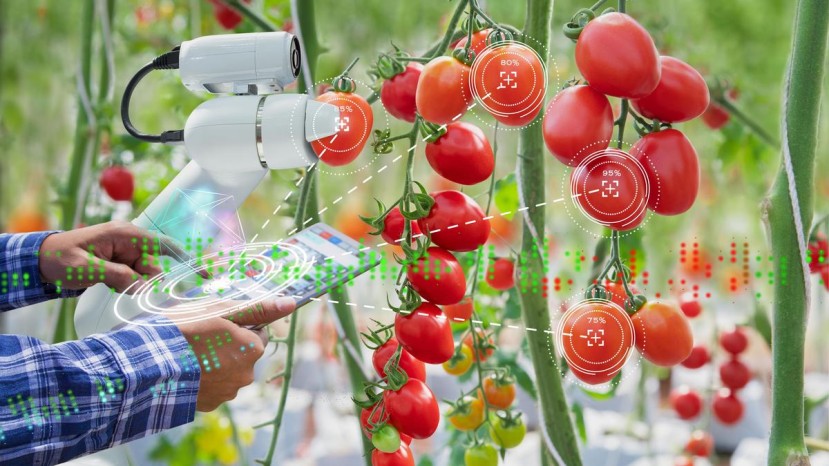
Rome: The Food and Agriculture Organization (FAO) has launched CropSuit, a new digital application that uses soil, climate and landscape data to help farmers identify the most suitable crops for specific locations. The organisation says the tool is aimed at improving farm productivity while promoting sustainable land use in the face of climate change.
The free web-based application analyses factors such as soil properties, rainfall, temperature, elevation and land cover to generate crop suitability assessments. By matching crops with local growing conditions, FAO believes farmers can make better planting decisions, improve yields and reduce the risks associated with erratic weather.
"CropSuit helps users identify which crops are best suited to specific parcels of land based on their environmental characteristics," FAO said while announcing the launch. The organisation added that the application is intended for farmers, extension services, researchers and policymakers involved in agricultural planning.
According to FAO, land degradation and climate variability are making crop selection increasingly difficult across many regions. Around 1.7 billion people worldwide live in areas affected by degraded land, underlining the need for better planning tools that can support resilient agricultural production.
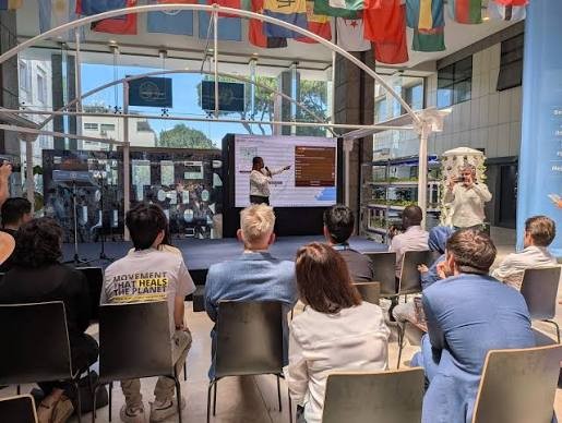
The application was unveiled during FAO's Global Conference on Smart Farming in Rome, where delegates discussed the growing role of digital technologies in strengthening global agrifood systems.
CropSuit has been developed under FAO's Soil Mapping for Resilient Agrifood Systems (SoilFER) programme, supported by the governments of Japan and the United States. The platform builds on the Global Agro-Ecological Zoning (GAEZ) framework, jointly developed by FAO and the International Institute for Applied Systems Analysis (IIASA), to evaluate crop suitability using scientific datasets.
Unlike many conventional advisory tools, CropSuit assesses not only major staple crops but also traditional, indigenous and nutrient-rich crops. FAO said this broader approach can help farmers diversify production while making better use of local agroecological conditions.
The organisation cited early applications of the platform in Zambia, where the tool showed that while maize was suitable in some locations, neighbouring fields were better suited to crops such as cassava, cowpea and fonio. FAO said such location-specific recommendations can help improve productivity and reduce cultivation risks.
"Digital technologies should complement farmers' knowledge, not replace it," FAO said, adding that the success of such innovations depends on making them accessible to those who need them most.
CropSuit forms part of FAO's broader SoilFER digital ecosystem, which supports countries in strengthening soil information systems through advanced mapping, geospatial analysis and digital advisory services. The initiative is currently being implemented in Ghana, Guatemala, Honduras, Kenya and Zambia.